Agriculture
Agriculture is at the heart of the local economy. The major sectors are sheep and beef, dairy, deer and cropping, Many local businesses service the needs of the surrounding agricultural industry and large agricultural processing facilities operating in the area include Fonterra's Clandeboye dairy factory and Barker's of Geraldine who process fruit and vegetables.
Tourism
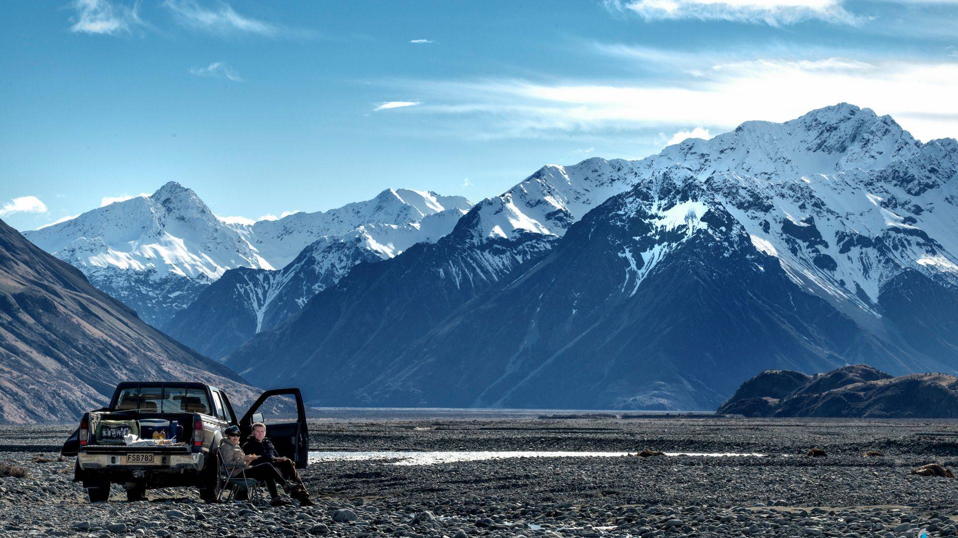
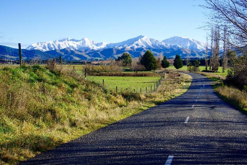
Geraldine is the gateway for many international and domestic tourists on their way from Christchurch down to the Tekapo and Mt Cook in the Mackenzie Country, and popular tourist destinations of Queenstown and Wanaka. There are numerous cafes, restaurants and shops which cater for tourists all year round. The town is also home to various tourist operators which showcase the local natural environment such as horse trekking and 4WD tours. The Geraldine Vintage Car & Machinery Museum has over 1400 exhibits including 101 tractors.
Native Bush Reserves
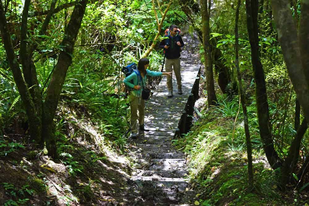
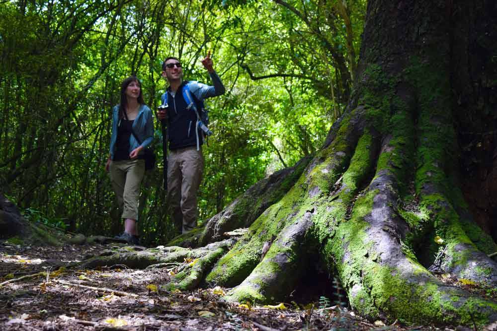
Within walking distance of the town centre is Talbot Forest Scenic Reserve which is the last remaining remnant of a vast native forest which covered the Geraldine and surrounding areas. The reserve is home to an impressive variety of native hardwoods including matai, kahikatea and totara, including one estimated to be 800 years old. The other native reserves within driving distance are Peel Forest Park Scenic Reserve, Orari Gorge Scenic Reserve, Kakahu Bush Reserve, Waihi Gorge Scenic Reserve and Pioneer Park Conservation Area. Colonies of the rare native long tail bat live in Talbot Forest.
Maori History
The land extending from the Rakaia River to the Waitaki district was a part of a wider Ngāi Tahu network of kāinga nohoanga (settlement) and kāinga mahinga kai (food-gathering places). The Geraldine district is believed to have been well known to Māori. Native birds, such as kaka, tui, pigeons, ducks, quail and weka were caught in prodigious quantities in surrounding areas. The Talbot forest was known by Māori at Rau Kapuka, and its timber was used for the construction of canoes. The Waihī River which flows through Geraldine close to the Vicarage, was recorded by Ngāi Tahu kaumātua as a food gathering area during the 1879 Royal Commission of Inquiry into the Ngāi Tahu land claims. The closest recorded Māori archaeological sites are moa hunters' camps with rock paintings located at Kakahu, near Geraldine. The Te Ana Maori Rock Art museum in Timaru is well worth a visit to learn more about our early Maori.
European History
South Canterbury was part of the Canterbury Purchase, or Kemp’s Deed, which saw over thirteen thousand acres of land purchased from Ngai Tahu by Henry Kemp on behalf of the Crown in 1848. The region was visited by colonial surveyor Charles Torlesse in 1849, at which time it was divided into large runs. The land which is today known as Geraldine was included in the 40,000 acre Raukapuka run, which Alfred Cox purchased in 1854 to farm sheep.
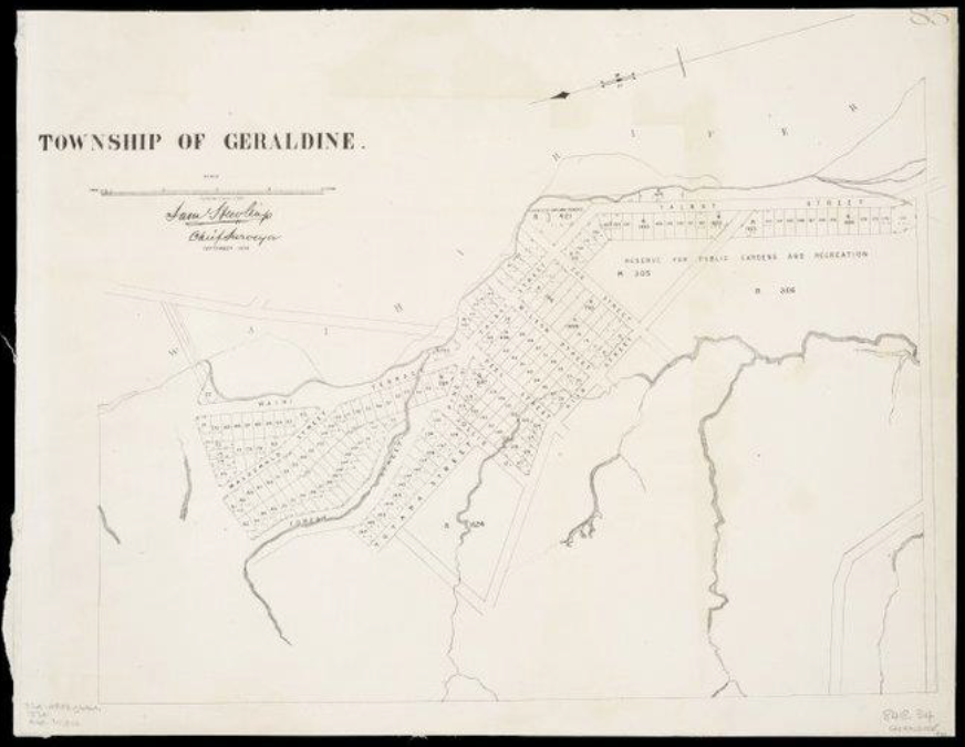
In 1854. Hewlings surveyed the area for a township, which was originally known as Talbot Forest. The name of the new township was debated in the Canterbury Provincial Council, and in 1857 it was given the name FitzGerald in honour of Canterbury’s first Superintendent. Two days later however, the name was again changed, this time to Geraldine, a name long associated with the FitzGerald family.
The demand for building timber meant that the large Talbot Forest, which was full of totara, manuka, matai and kahikitea, and various species of beech, quickly attracted pit-sawyers to the area. Geraldine became an important junction for travellers who were making their way to sheep runs and to the various sawmills.
Hewlings surveyed the town site into sections in 1862, and pegged out the lines of the main streets. Hewlings included in his survey an area of just over one and a half acres for the construction of a Church of England (Figure 4-1). This land was set aside as Reserve 421, upon which the Vicarage at 69 Talbot Street would later be constructed.